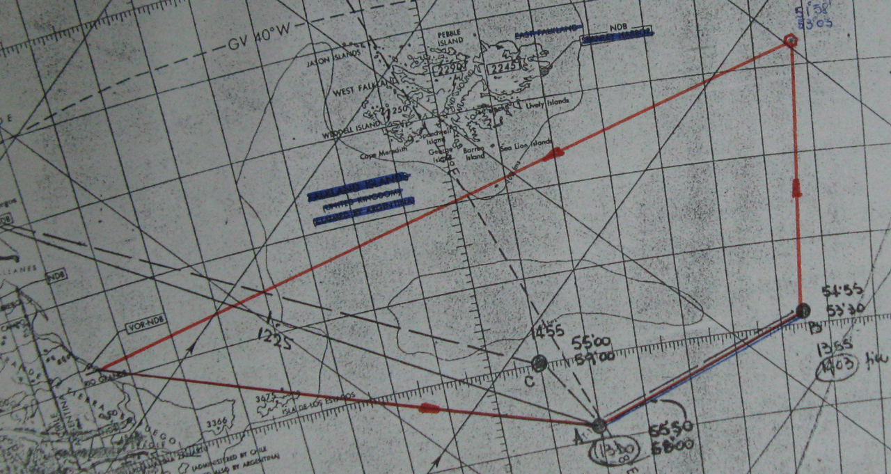
The Invincible and Brilliant reached the position in which it was hoped to begin flying at 9.30pm, only to find themselves still in fog. They pressed on to the west and by 11.00pm the visibility had improved sufficiently to launch the first SHAR mission since the morning of 2 June. Taking off to the south of the Malvinas Sound, the fighters patrolled out to the maximum radius of the ship’s high level radar cover, where they could be seen heading westwards by the Argentine radars at Puerto Argentino, Rio Gallegos and Rio Grande. As this first probe turned back and a second was launched, the carrier and her ‘goalkeeper’ reversed course, in order to be to the east of Puerto Argentino well before dawn but still be ready to take action against any reaction which the probes into the fringe of Argentina’s continental air defence zone may have provoked.Interesante, viendo la bitacora del Invincible de los dias posteriores al ataque, me encuentro con que el dia 5 de junio a la madrugada el Invincible estuvo en 53° 3.9 S 58° 57.2 W, esto es unas 60 millas al S de Malvinas, en proximidades de isla Beauchene. La unica referencia de la mision es en el dia 4 donde menciona "Instruction 14", lo hizo en compañia de la Brilliant. La navegacion fue a mas de 25 nudos de ida y de vuelta, descarto un barco averiado, pero alguien sabe porque razon se destaco un unidad asi de alto valor en compañia de solo un escolta?
Brown, David. The Royal Navy and Malvinas War . Pen & Sword Books Ltd. Kindle Edition.
Seguramente, hay anotación de las detecciones de Sea Harrier en está posición por los radares en Rio Gallegos y Rio Grande? Cual fue la reacción del FAS, o es otra cosa aun secreta?

