Por suerte estamos en una era de avances tecnológicos donde, además de que cualquiera con la $ y el interés puede tener acceso a imagen satelitales, también nos permiten corroborar si existieron esas ediciones. Hay software, especializado y no.
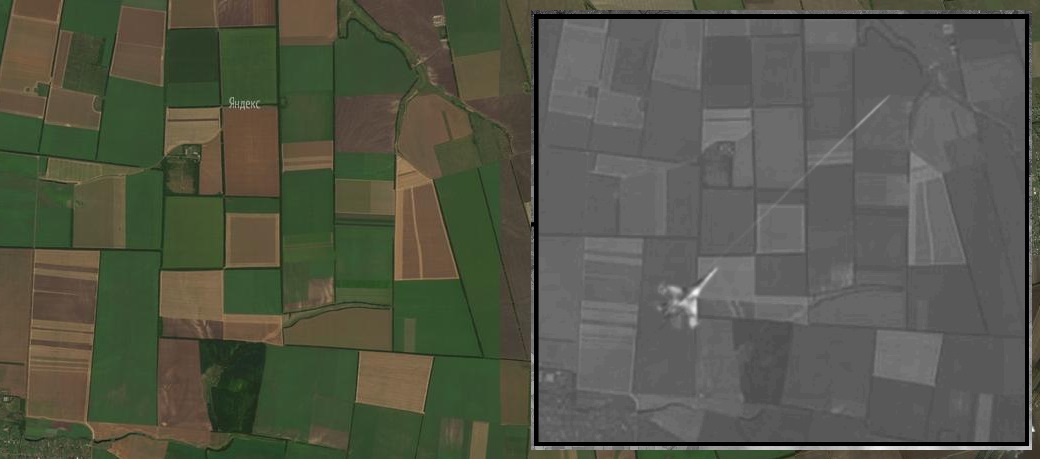
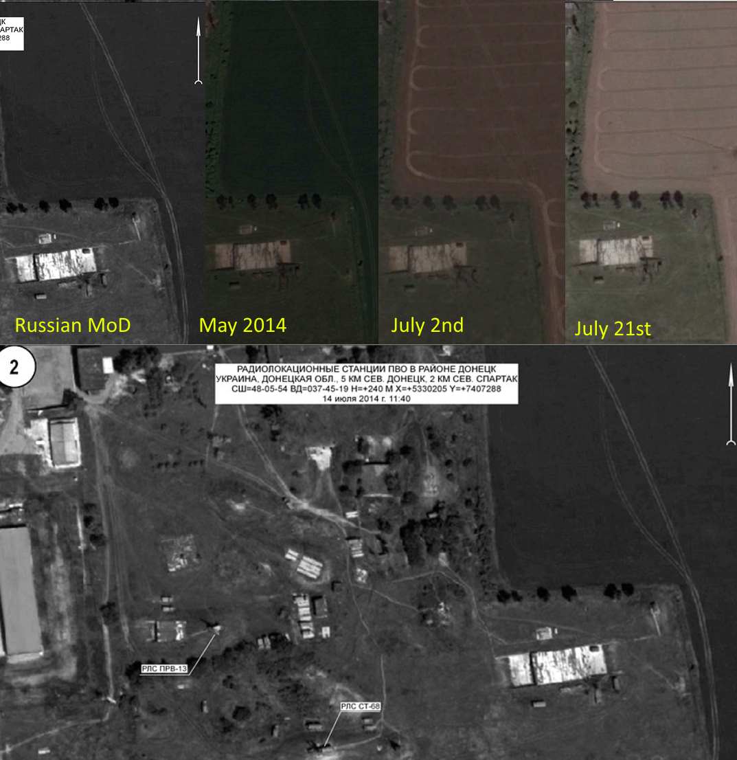
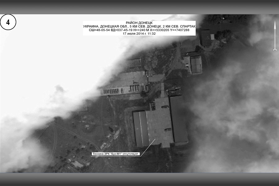
Lo gracioso es que esa técnica de editar imágenes fue muy utilizada por los rusos (caso derribo MH17), quedando como unos ridículos luego de que decenas de analistas y organizaciones especializadas en análisis de fuente abierta los dejaran al descubierto
https://www.bellingcat.com/news/201...on-shares-fake-images-of-mh17-being-attacked/
Translations:English (UK)In Bellingcat’s latest report, Forensic Analysis of Satellite Images Released by the Russian Ministry of Defense, we exposed how Russia had falsely claimed satellite imagery from June 2014 was from July 14th and July 17th. As with nearly all of Bellingcat’s work we used...

www.bellingcat.com
Translations:English (UK)In Bellingcat’s 31 May 2015 report, Forensic Analysis of Satellite Images Released by the Russian Ministry of Defense, the Bellingcat investigation highlighted a number of discrepancies between the satellite images presented by the Russian Ministry of Defense and Google...

www.bellingcat.com


:quality(85)/cloudfront-us-east-1.images.arcpublishing.com/infobae/BM3IUXFEWTN2YROIEEOEKQGIXA.jpg)


